Description
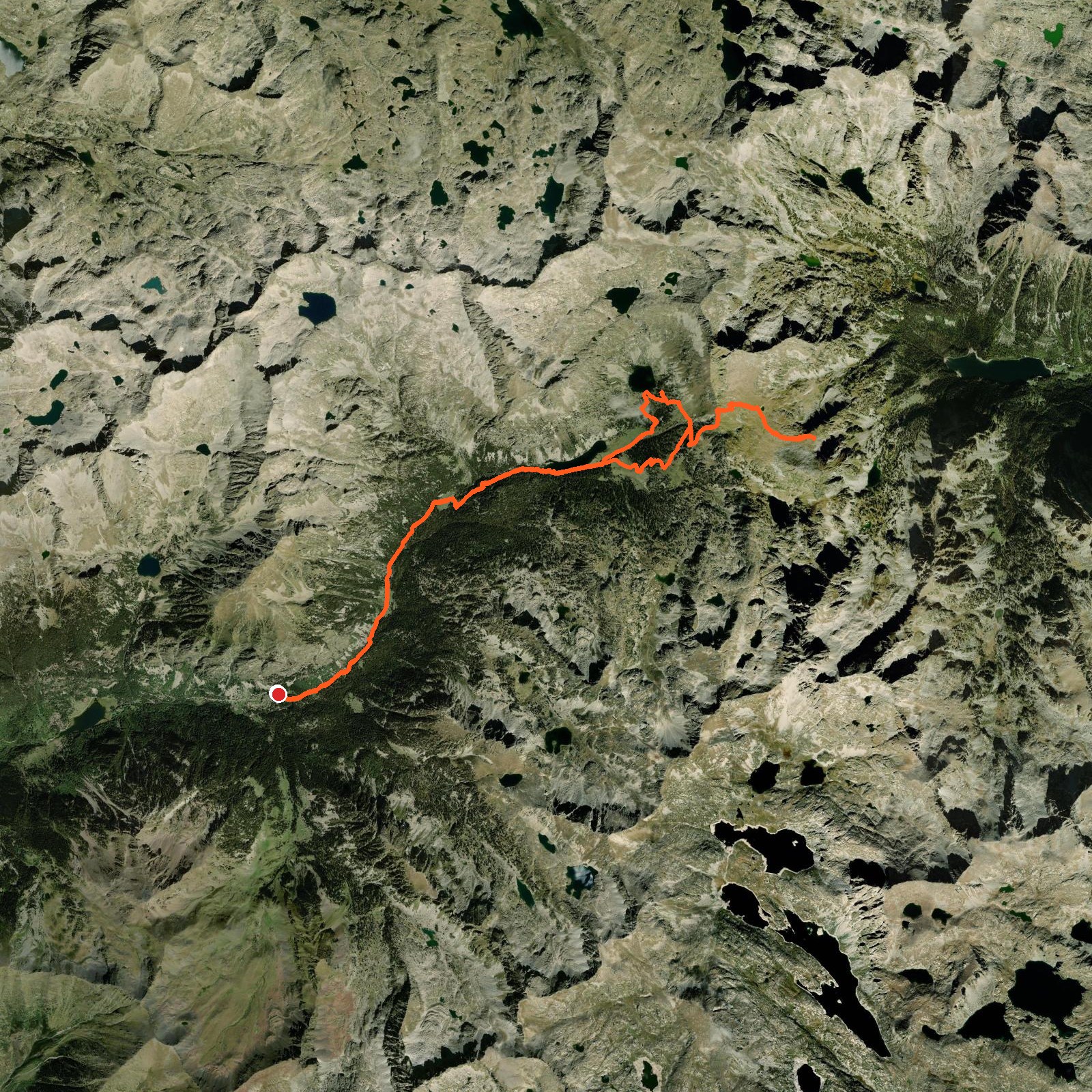
August 10, 2024Today we went hiking to see the Estany de Sant Maurici, but we started from the other side of the national park. Walking next to the beautiful lakes we started our climb up to the viewpoint. When we arrived at the viewpoint there were some horses! We ate our lunch and made our way back down!
Good to know
- The section where we started can only be reached by taxi — no private cars are allowed in. For more information, press the link below this text.
Logged from Parc Nacional d'Aigüestortes i Estany de Sant Maurici, Catalunya