Description
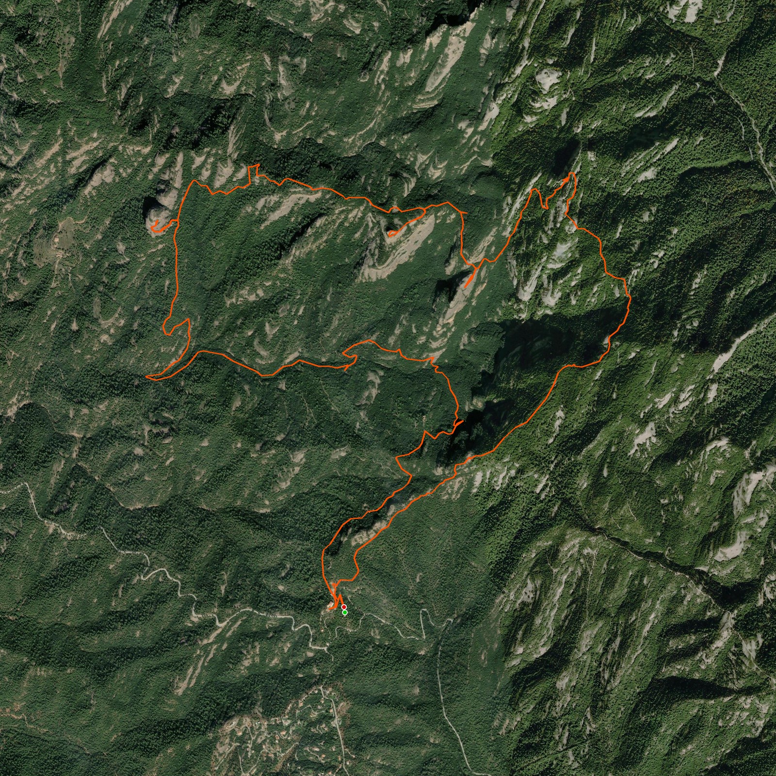
May 1, 2026This hike first takes you downhill through the valley. Later on you start walking uphill and reach a point where you can choose to continue or to head left to bag an additional peak — the catch is that this section requires climbing up a rock with a rope. If you're not comfortable with that, just skip it. Be careful either way!
Then you walk next to beautiful views of Montserrat — no shortage of spots to take pictures before reaching the top. From the summit you get views of both Montserrat and La Mola. From there it's an easy downhill walkway, with a bar at the end if you want to grab a drink!
Good to know
- This trail has a part where you have to climb using a rope. You can skip it and continue on the main route — it's not required.
- If it has rained it can be slippery, as part of the trail goes over firm rocks.
Logged from Parc Natural de Sant Llorenç del Munt i l'Obac, Catalunya