Description
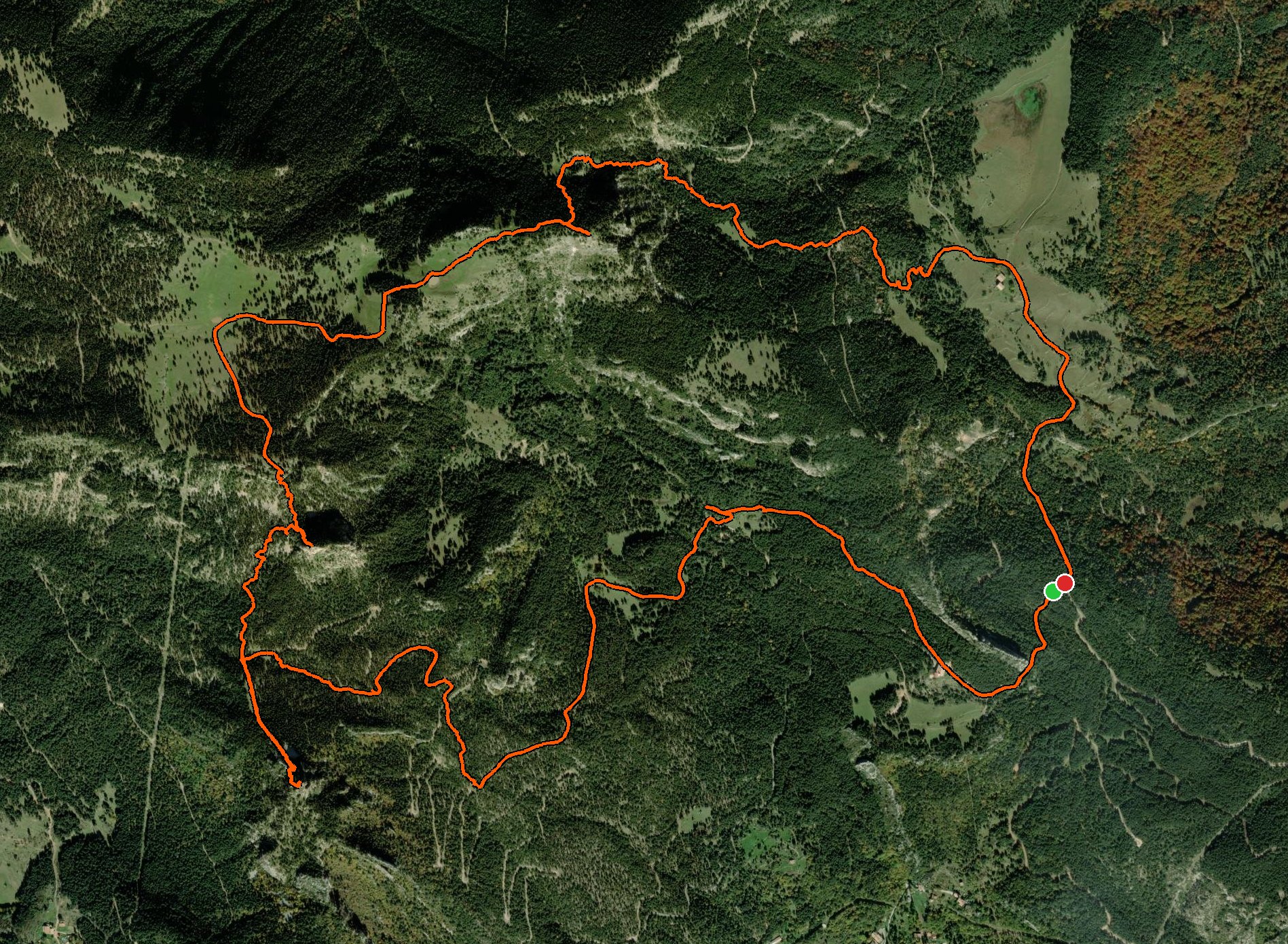
May 23, 2026This hike starts from a good parking spot — just watch out, because part of the road in is small and steep, though it's still doable with a small car. The route is beautiful and links four peaks. The first two are easy to reach. The third one is what makes this a Level 5 hike: you have to climb a very steep section uphill. Once you're up, you get rewarded with views back over the first two peaks. From there you walk past two small lakes and on to the fourth and final peak. The way down is a fairly steep descent past an abandoned house and back to the car!
Good to know
- After reaching the second peak, the climb to the third is VERY steep. Have a deviation route downloaded in case the climb is not possible for you.
Logged from Berguedà, Catalunya