Description
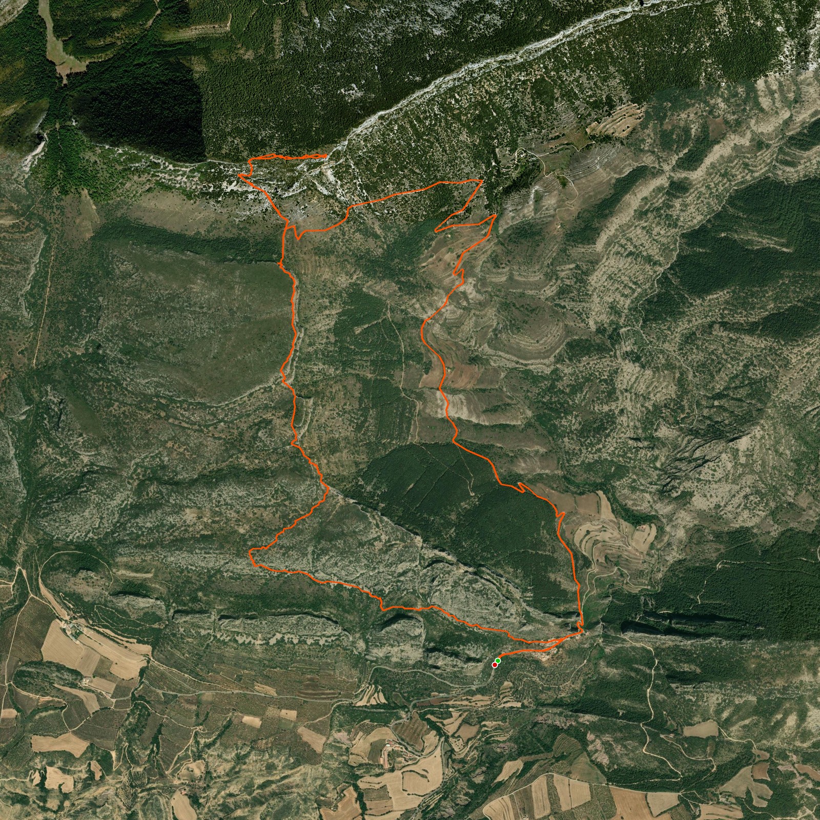
April 26, 2026Today we went hiking through this beautiful region — only the starting point is so beautiful! We started to make our way up northwest of the village. When we arrived at the mountain edge we stopped to take some pictures, then we continued along to the peak called Gallinova.
As we were eating some food we heard a thunderstorm coming, so we headed down quick. When we reached the 4x4 car trail it started raining a lot! We rushed back to the village. When we arrived back the rain was going away and we even saw a rainbow next to the village!
Good to know
- The route can be hard to find at some stages. Use a GPS device to walk the correct path.
- Some parts are steep and feel more like climbing than hiking.
Logged from Abella de la Conca, Catalunya