Description
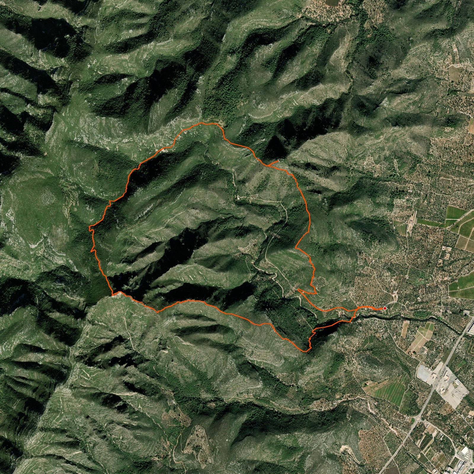
April 3, 2026Today we went hiking to La Foradada via the mountains that surround it, to make the uphill part chill. This way offers amazing views of the Delta de l'Ebre and even Tarragona! After walking peak to peak you walk up the last part where a big sign tells you you've made it. Amazing views from the hole in the mountain and from the top of that hole as well — surely a recommended hike!
Only the downhill part we did was VERY steep on the first part. There is also a 'general' trail which is clearly marked and does not have those steep sections. Just note that the steep section was for the first 500 m going down.
Good to know
- The downhill section is very steep and can be dangerous in high winds or bad weather. If it's too steep, follow the signs for the clearly marked alternative downhill route.
- Wear long pants, even on hot days — there are a lot of plants with sharp cuttings.
Logged from La Ràpita, Catalunya