Description
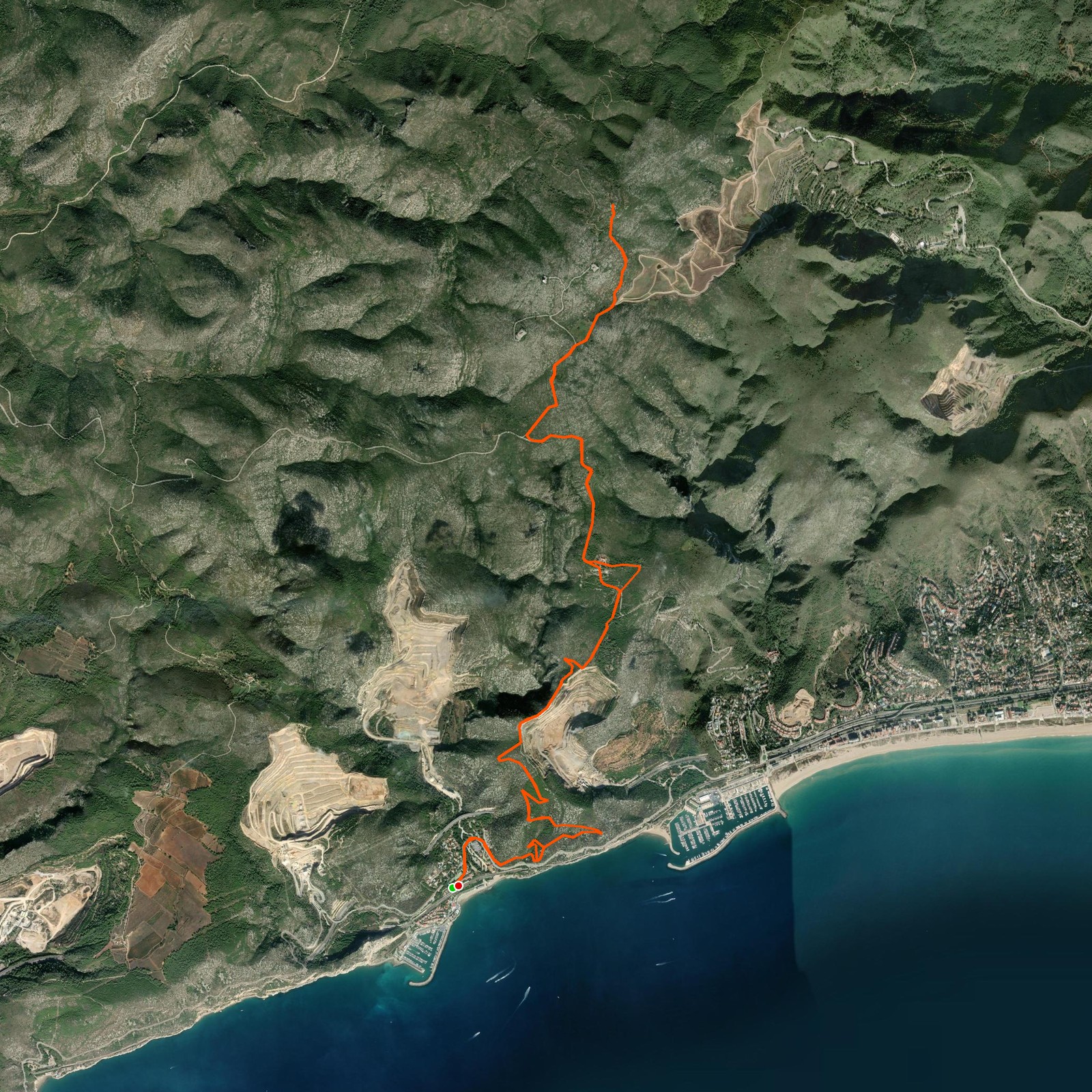
April 18, 2026Today I took the Rodalies train to the station of Garraf. From there I started walking up next to the beautiful village, the excavated holes in the mountain and the views of the sea. This trail is quite well marked but at some points it can get tricky. A big part of the route is a good, wide path and for a small part also a small paved road.
When I reached the peak of La Morella, I was lucky to have very good visibility — the Pyrenees were visible! This peak also gives a beautiful view of Barcelona and Montserrat. After a good sandwich for lunch I started my way back down to the train station!
Good to know
- Try to start as early as possible — it can be very hot during a sunny summer day.
- Bring enough water and sunscreen for the heat.
Logged from Garraf, Catalunya