Description
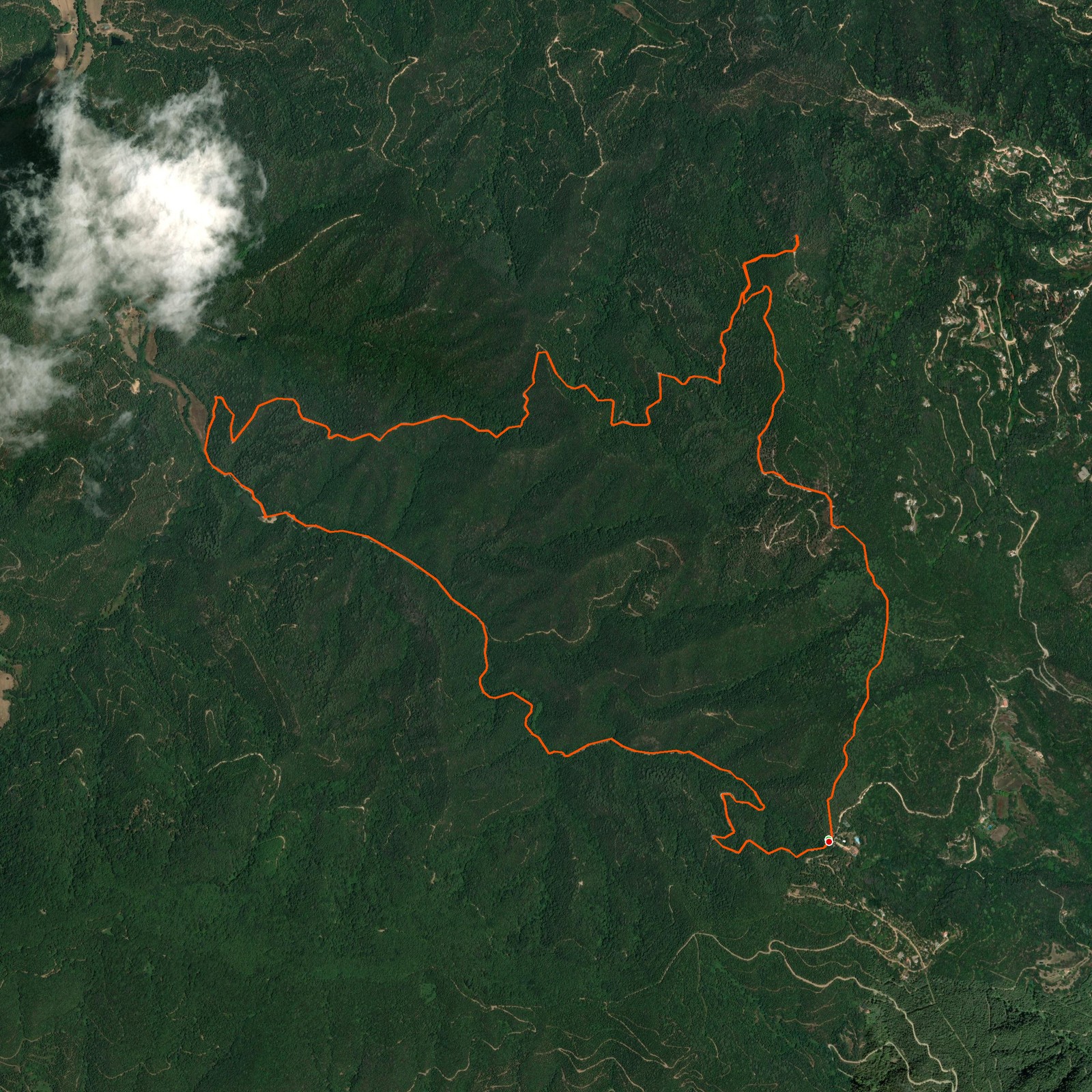
February 22, 2026Today we went hiking in Parc del Montnegre i el Corredor. During the hike we passed some points with views of the Montseny region and even the Pyrenees mountains — Canigó peak in France was visible! We walked further next to a lake and a farmer's house with sheep.
Walking uphill we followed a river with quite a lot of water. This region usually doesn't have much water due to long dry seasons, but these days have been quite rainy! The trail is mostly a gravel road, so you won't get lost easily.
Logged from Parc del Montnegre i el Corredor, Catalunya