Description
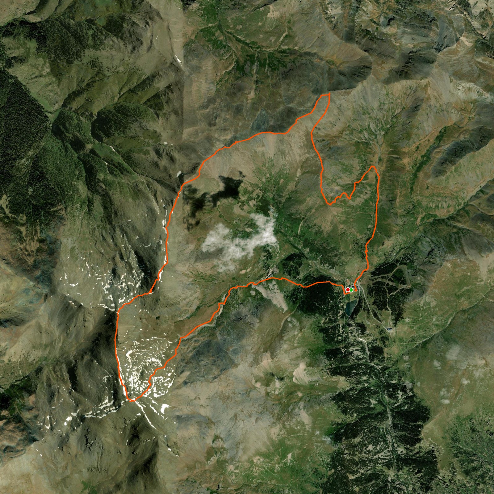
June 25, 2025This is a beautiful hike, covering one of the highest peaks in the region. We decided to stay at the Vall de Núria hotel and leave during the night to catch the sunrise on the top of Puigmal. After watching the sunrise for some time, we decided to move on to the other peaks.
We ended up not continuing all the way and headed back down to the hotel — there was a bad weather forecast and we didn't want to risk anything. This route can be cut short on multiple sections or extended, with all the options revolving around the mountain of Puigmal.
When walking away from the Puigmal peak toward the other peaks you will pick up mobile service, just be warned: you're walking right along the border, so your phone keeps switching between Spanish and French antennas. I received 41 messages in total.
Good to know
- This hike can be dangerous in high winds — sections run along exposed mountain edges.
- The route is generally well marked, but some parts are hard to spot. Watch your GPS device closely.