Description
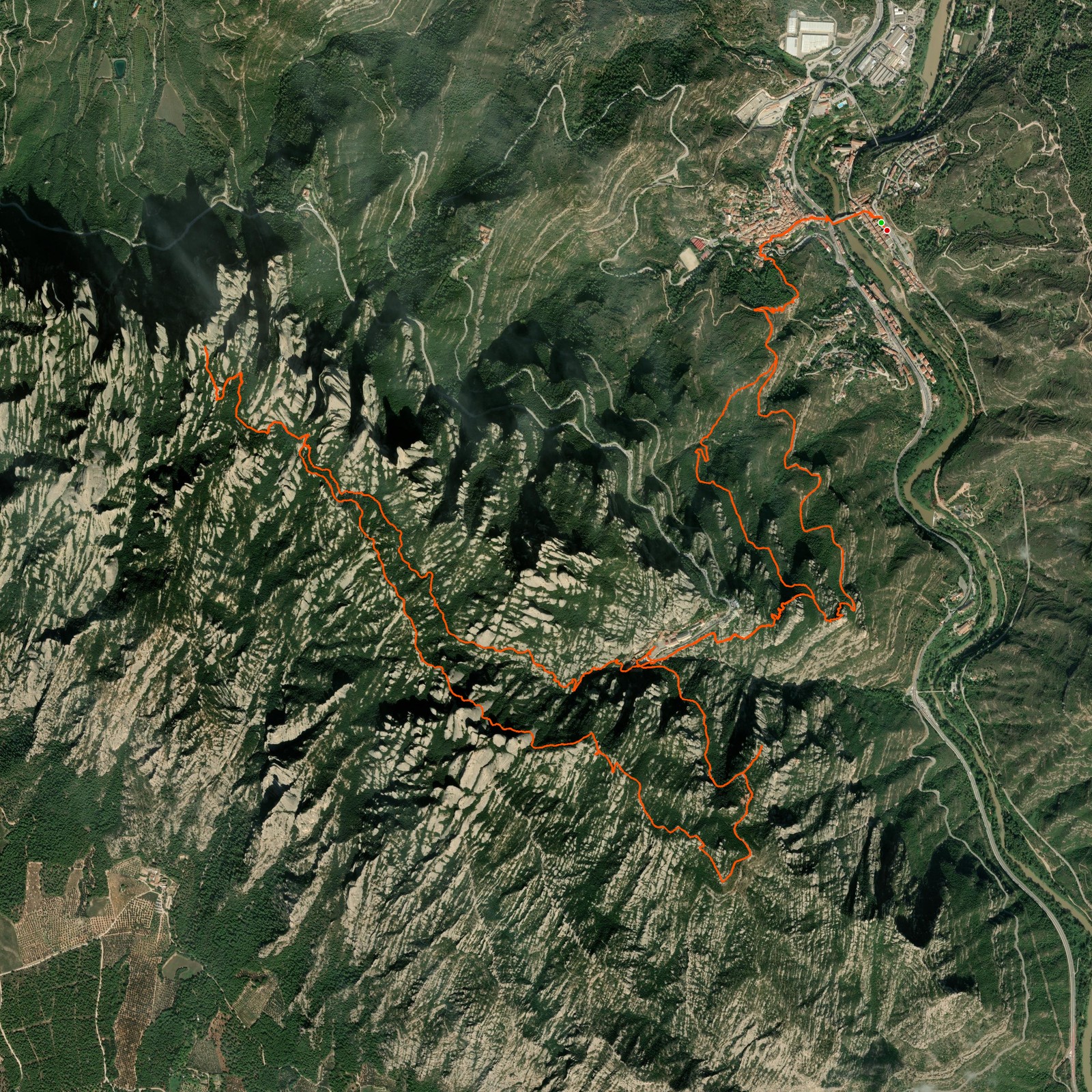
November 4, 2025Today I took the train from Barcelona to do this hike! I started from the bottom, Monistrol de Montserrat — a beautiful village next to the Montserrat mountain. From there I crossed the village and made my way up. I chose the hiking path to go up; the other option is to follow the gravel road and walk the stairs, but I prefer a path over a lot of stairs.
Then I walked next to the church, the halfway point! From there I made a loop around the rocks and walked slowly further up. And then I reached Sant Jeroni, the highest peak on Montserrat mountain! Had lunch there and made my way all the way down back to the village to take the train back to Barcelona.
Logged from Parc Natural de la Muntanya de Montserrat, Catalunya