Description
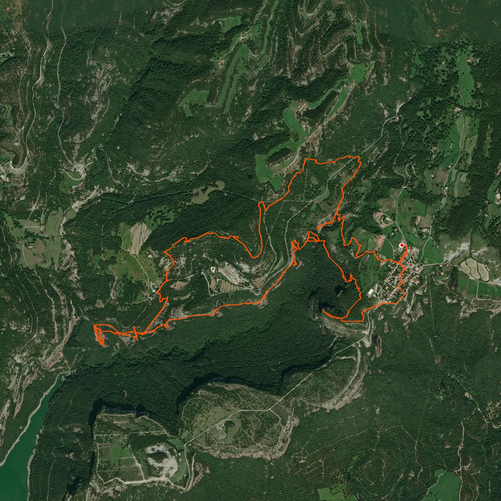
March 15, 2026Today I went hiking through the beautiful valley next to Tavertet. Started descending, walked underneath a waterfall and made my way back up to Barret de la Parareda which offered beautiful views of both Montseny and the Pyrenees. After crossing some caves and abandoned houses I got back at Tavertet!
Parking in Tavertet is 3 euros, payable by coins. There is a cash change machine available at the tourist office. No card payments.
Good to know
- The GPS signal in the valley is bad and can be misread. As you can see from the trail, sometimes it switches position. Be aware of this during the hike.
- This hike has steep inclines, including a ladder. If you are not used to these hikes, you should reconsider the route.
- The route is very badly marked. So, monitor your GPS device closely to avoid making any mistakes during the route. I had to check 2 or 3 times if I was going the correct way.
Logged from Tavertet, Catalunya